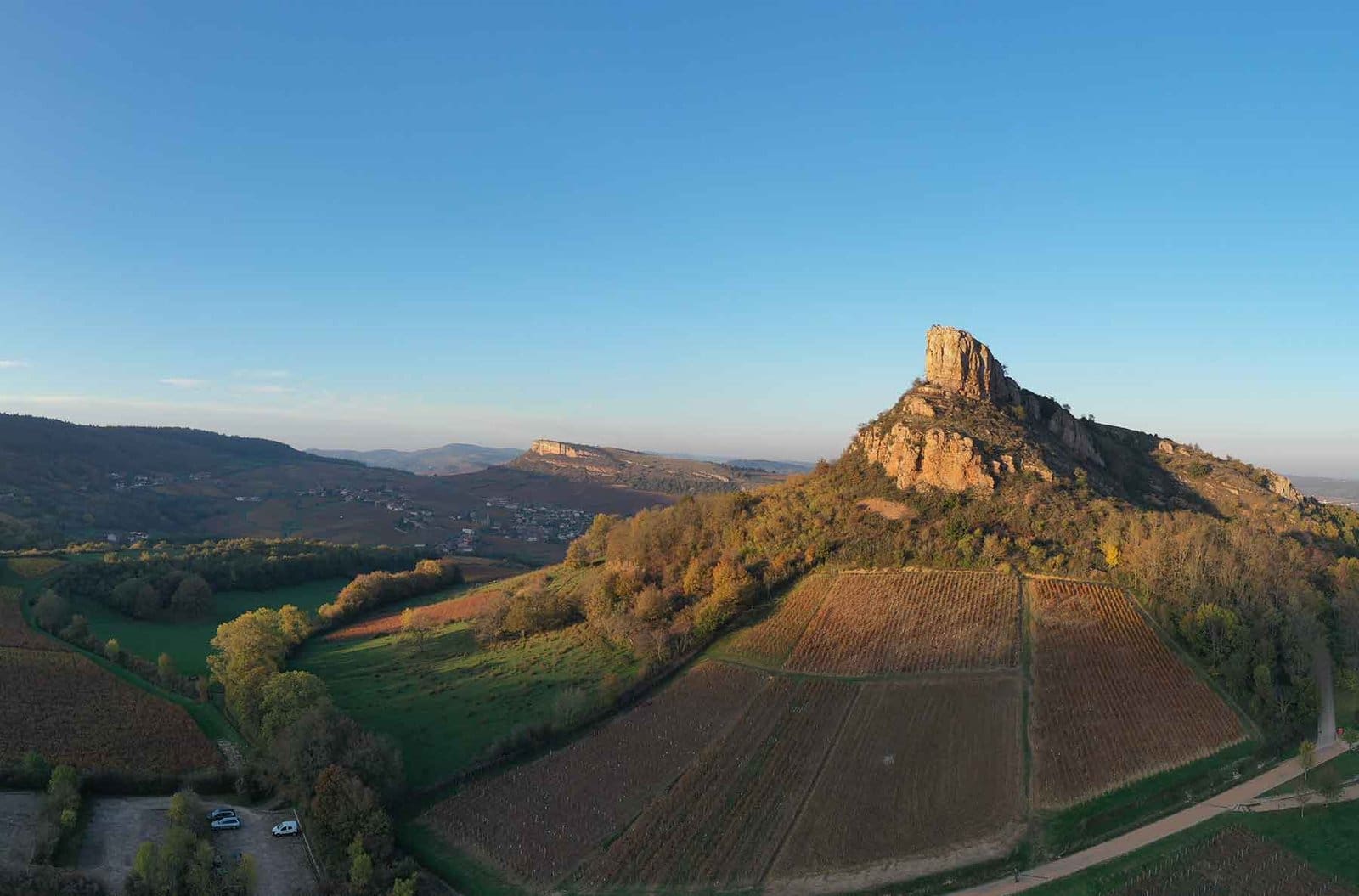
It is one of Burgundy’s most iconic sites. Perhaps the most iconic. The ROCHE DE SOLUTRÉ, classified as a Grand Site de France since 2013, stands like a majestic sphinx amid the vineyards of southern Burgundy, in the heart of the Mâconnais region. Made famous by François Mitterrand’s annual pilgrimage, this superb natural site in Burgundy is well worth the climb. A place not to be missed during your camping holiday in southern Burgundy.
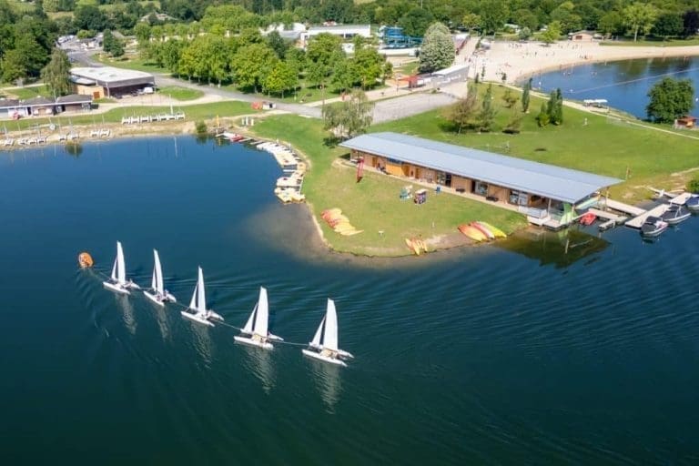
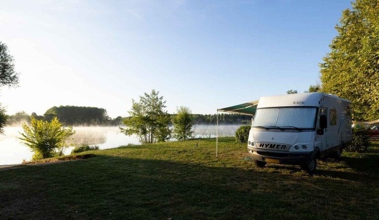
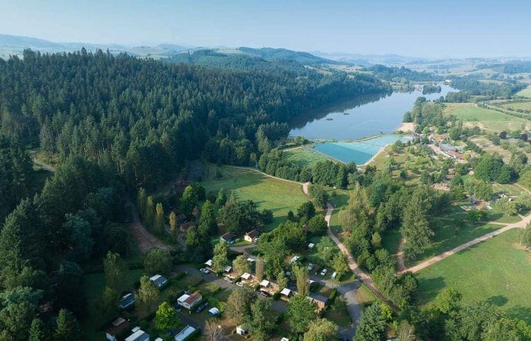
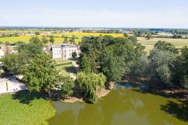
Our campsites in southern Burgundy near Solutré
A unique natural site
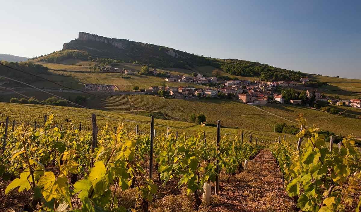
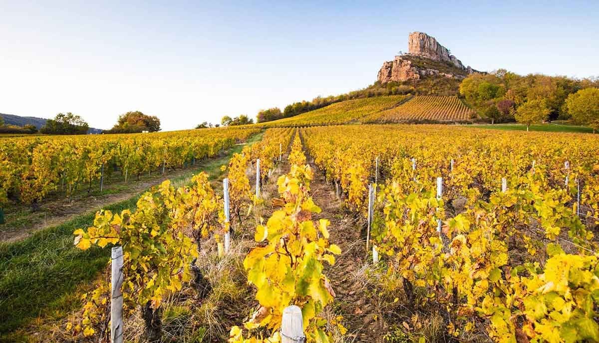
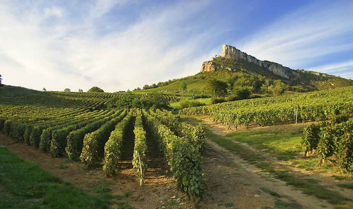
The Solutré rock is located in the Mâconnais vineyards. Surrounding the rock and the village of Solutré-Pouilly are the appellations of Pouilly-Fuissé and Saint-Véran, among others. These two wines are representative of this white wine terroir, where the Chardonnay grape variety reigns supreme. The vineyards serve as a backdrop to the rock. This stone vessel rises to an altitude of 493 metres. Created by a geological erosion phenomenon rare in the region, this limestone rock stands out amid the rolling, rounded landscapes, like its neighbours in Vergisson and Pouilly. Before setting off to climb the rock, you can admire it from the surrounding hills. For photography enthusiasts, it is undoubtedly at its foot that the Roche expresses its full grandeur. From the rock of Vergisson, you will also discover beautiful views of Solutré and the surrounding landscapes.
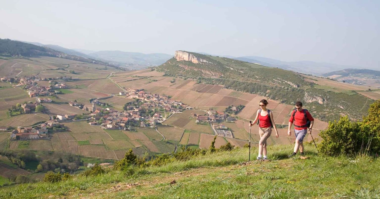
To climb the Roche de Solutré, you can park in the parking lot at its foot. The ascent takes around 1 hour round trip, with a 100-meter difference in altitude, and is not particularly difficult. From the parking lot, a 4 km signposted path leads to the summit. The route is punctuated by reading tables that provide information on the many facets of the area. Please note, however, that the trail has many steps, so you won’t be able to take baby carriages, bicycles, etc. with you.
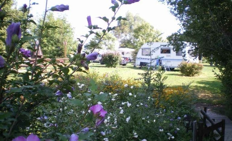
Camping around the Roche de Solutré
Once at the top, the view is a reward in itself. You can see most of the Mâconnais region. The landscape is divided into a multitude of vineyard plots. You can also see the villages that gave their names to the appellations: Solutré-Pouilly, Fuissé, Prissé, etc. On your right, the Vergisson rock, which rises to 485 metres, completes the picture. To fully appreciate the view, a virtual orientation table is available on the Solutré Rando app (available on the iOS or Android store). It will identify the names of the surrounding villages and natural sites for you. If the sky is clear, it will even show you the Alps in the distance.
A prehistoric site in Southern Burgundy
In addition to its unique geological features, the Roche de Solutré is also worth visiting for its rich historical interest. This site was frequented by hunters more than 55,000 years ago. Today, it is home to one of the richest Palaeolithic sites in Europe. A prehistory museum was therefore created in 1987 at the foot of the Roche de Solutré to display the results of the excavations. Well, some of the results of the excavations, at least. Much of the collection has been scattered around the world in museums such as the British Museum. This museum, buried in the side of the rock, will tell you everything you need to know about prehistory in southern Burgundy. The museum visit is complemented by an archaeological garden and a botanical trail to learn a little more about the geology and flora around the Roche de Solutré.
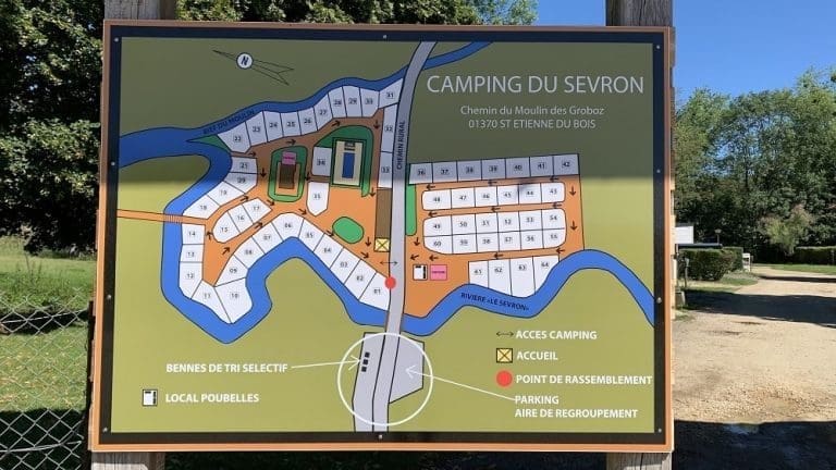
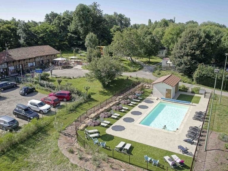
Our campsites around Solutré in South Burgundy
A selection of campsites with a majority of camping pitches around the Roche de Solutré in southern Burgundy.


Leave a Review